
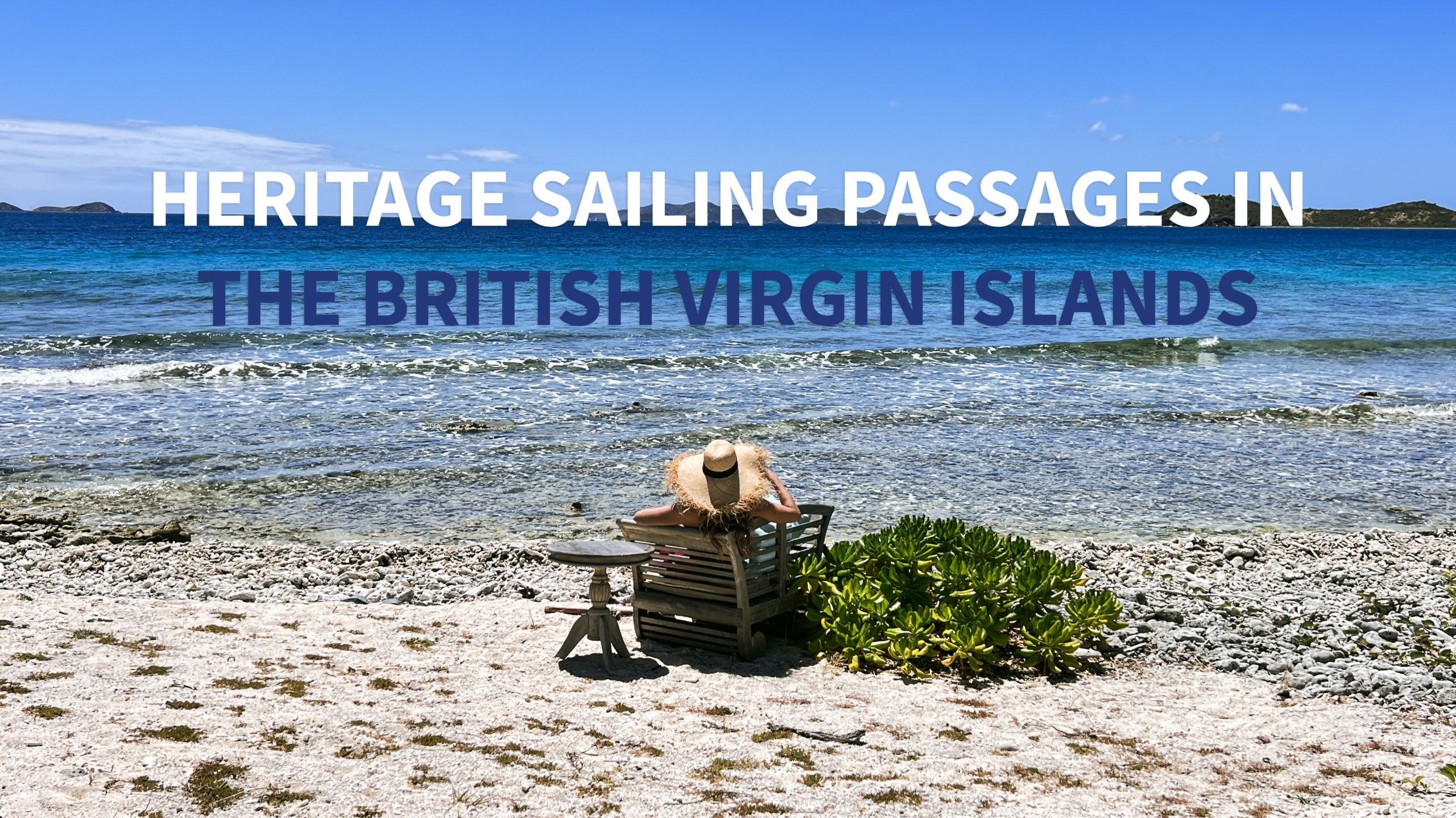
A Different Way to Explore the BVI in April 2026
In the British Virgin Islands, sailing has never been separate from history. The shape of the islands, the visibility between anchorages, the reef-lined passages, and the protected bays have influenced movement here for centuries.
For travelers exploring the BVI in April 2026, a heritage-focused sailing itinerary offers something more layered than a standard island-hopping route. It connects the archipelago’s older navigation patterns, colonial-era landscapes, historic wreck sites, and modern marine conservation into one continuous experience.
The result is not just a week on the water, but a way of reading the islands through the routes between them.
An Archipelago Built for Movement
The BVI is best understood from the sea.
Long before modern chartering, these islands were linked by canoe routes, visible shorelines, and practical inter-island movement. In an environment where one island often sits clearly within sight of the next, the sea functioned less as a boundary and more as a corridor.
That way of understanding the islands still feels relevant today. Sailing through the BVI is rarely about a single long crossing. More often, it is about a sequence of short passages, each one connecting landscapes with very different historical identities.
April is especially well-suited to this style of travel. The weather remains favorable, the trade winds continue to moderate the heat, and the territory sits comfortably before the peak of the hurricane season. It is a month that allows for movement without pressure.
The Layers of Maritime History
A heritage sailing passage in the BVI can be read across three broad historical layers.
The first is the Indigenous movement through the islands — early canoe navigation, visible inter-island routes, and coastal settlement patterns that treated the archipelago as a connected system rather than a set of isolated land masses.
The second is colonial and plantation-era history. Under British control from the late seventeenth century onward, the islands developed around fortified bays, plantation economies, inter-island trade, and maritime escape routes shaped by both commerce and resistance. Ports, anchorages, and protected coves all carried strategic importance.
The third is the history of risk itself: reefs, wrecks, and difficult passages. This is especially visible around Anegada, where Horseshoe Reef has shaped navigation for generations and remains one of the most powerful reminders that the sea here is beautiful, but never passive.
Together, these layers create a landscape that rewards slower, more intentional travel.
Where Heritage Comes Into Focus
Tortola: Ports, Fortifications, and the Shape of the Capital
Tortola provides the clearest introduction to the BVI’s maritime history. Road Town and the surrounding bays reflect how ports developed around protection, trade, and access to the wider Caribbean.
A heritage-focused route often begins here, not simply because Tortola is the operational base for many charters, but because it gives context to everything that follows. Historic sites, former fortifications, and the structure of the harbor all speak to the island’s colonial role.
From here, the charter becomes a progression — leaving the administrative and historical center behind and moving into landscapes where geology, reefs, and maritime memory begin to dominate.
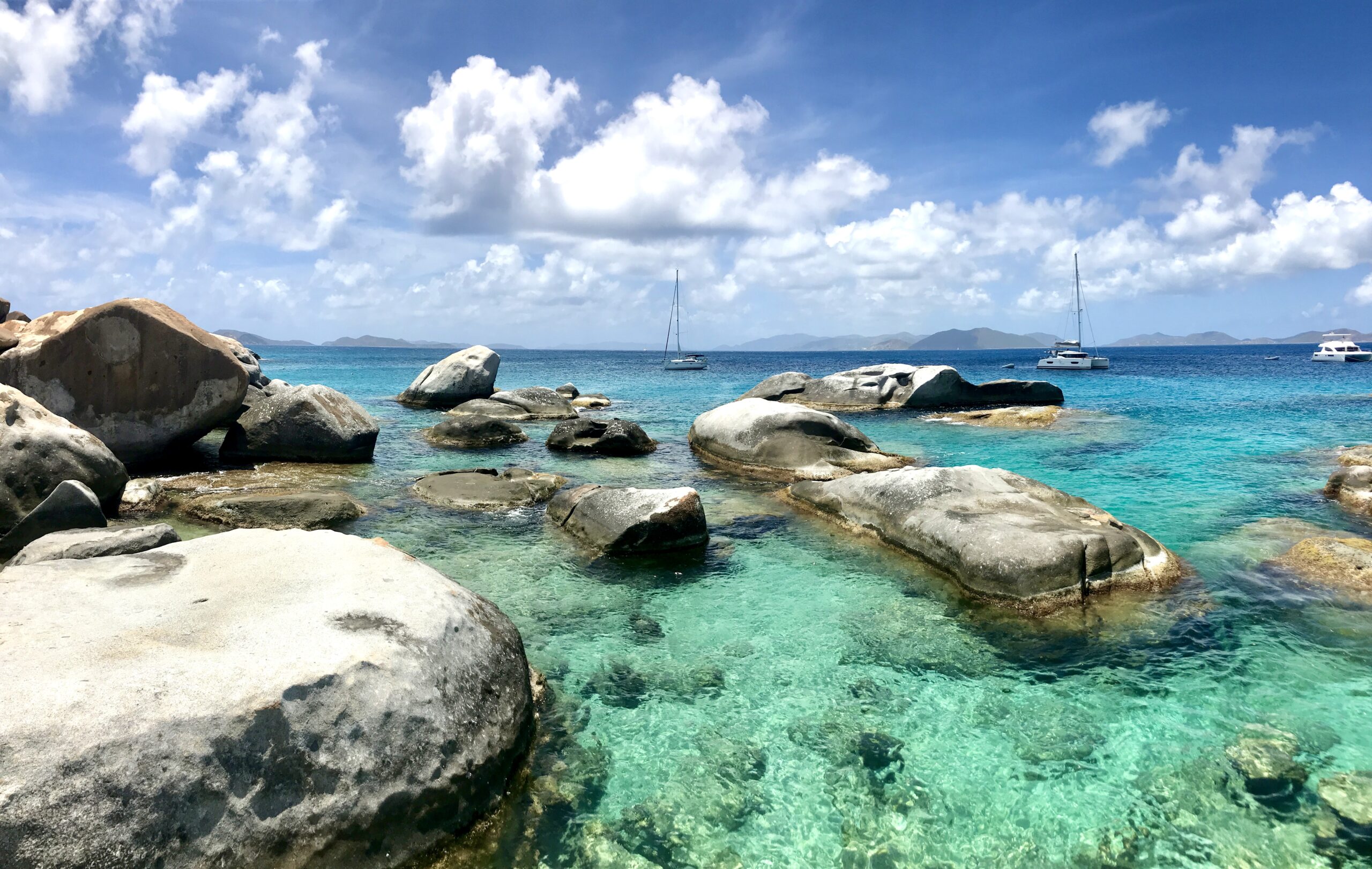
Virgin Gorda: Geology, Industry, and Coastal Scale
Virgin Gorda offers a very different chapter.
Its boulder formations and dramatic coastline are often discussed in aesthetic terms, but the island also holds one of the clearest examples of industrial history in the BVI: the old copper mine. A sailing passage that includes Virgin Gorda can connect the island’s natural formations with the remains of extractive industry, showing how even remote coastal landscapes were once deeply tied to wider trade networks.
This is one of the strengths of a heritage-led itinerary: the story is not confined to museums. It is embedded in the terrain.
Salt Island and the Rhone Marine Park: The Wreck as Archive
Few sites in the BVI carry as much emotional and interpretive weight as the wreck of the RMS Rhone.
Lost in the hurricane of 1867, the wreck has become both a marine park and one of the Caribbean’s most recognized underwater heritage sites. It is also a place where the line between recreation and preservation needs to remain clear.
For charter guests, this is one of the most compelling examples of how heritage is experienced differently from the water. A visit here is not simply about diving or snorkeling. It is about understanding the wreck as a historical site, a reef environment, and a protected space all at once.
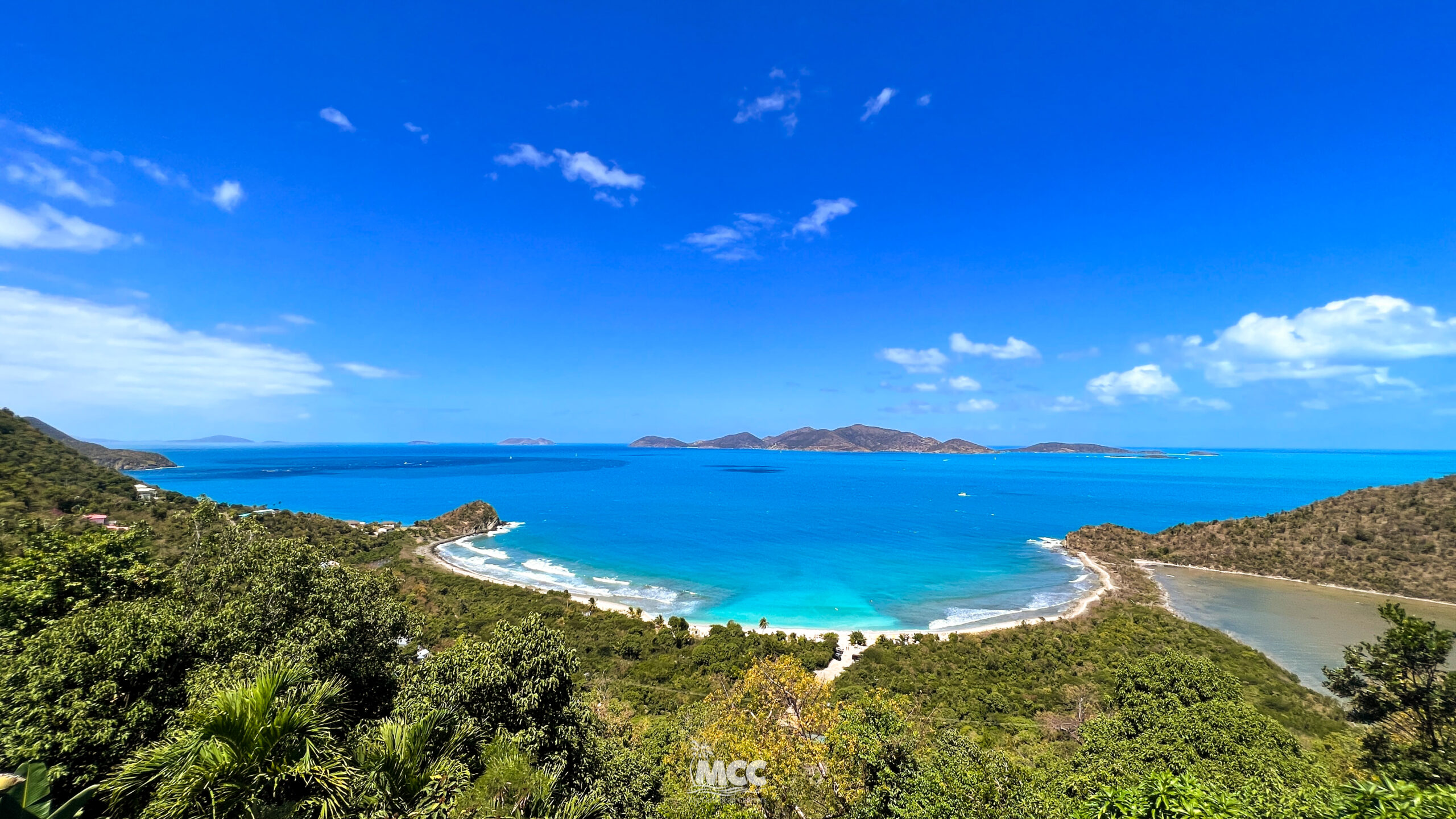
Anegada: Reef, Risk, and the Memory of Passage
Anegada changes the tone of the itinerary completely.
Low, coral-based, and visually distinct from the volcanic islands to the south, it is defined as much by what surrounds it as by the island itself. Horseshoe Reef has claimed countless vessels over time, and the navigation history of the area is inseparable from that reality.
In heritage terms, Anegada is not only about shipwrecks. It is also about the relationship between navigation and environment — how reef systems shaped routes, danger, and local knowledge.
For this reason, Anegada works best as a deliberate chapter in the itinerary, not an improvised detour.
Heritage at Sea Today
What makes these passages especially relevant in 2026 is that the historic landscape is still active.
Marine parks remain protected. Mooring systems shape how visitors access underwater sites. Regulations around anchoring, waste discharge, and protected wrecks are not separate from the visitor experience; they are part of how heritage is preserved.
This is where a heritage sailing passage differs from a purely scenic one. It is not only about where you go, but how you move through those places.
In the BVI, that includes:
- using the correct moorings in protected marine areas
- understanding that certain sites allow visitation but not interference
- respecting time limits and conservation rules
- recognizing that coral reefs and wrecks are part of the same living system
The route becomes more meaningful when these details are treated as part of the story rather than restrictions around it.
Why April 2026 Works Well
April offers a strong balance for this kind of itinerary.
The climate remains favorable, with stable warmth, relatively modest rainfall, and trade winds that still make sailing comfortable across the main island group. It also falls just after the major spring regatta window, which means the territory remains active, but the rhythm begins to settle slightly compared with late March.
There are also practical factors to keep in mind. Easter holidays can affect service hours and movement patterns, and the Governor’s Cup on April 25 adds another nautical point of interest toward the end of the month. These are not reasons to avoid April, they simply reinforce the value of planning routes with awareness.
For heritage travel, that is useful. It encourages a more intentional pace.
A Suggested Way to Build the Journey
A heritage sailing route in the BVI works best when each day has its own interpretive focus.
One day may center on Tortola’s port and colonial structure. Another may look at Virgin Gorda through geology and industry. A third may frame the Rhone as underwater heritage rather than only a dive site. A fourth may shift north toward Anegada and the relationship between reef, navigation, and shipwreck history.
That structure gives the week continuity.
Rather than simply collecting beaches and bays, the itinerary builds a narrative through the archipelago, one that moves between land, water, memory, and regulation with a clearer sense of purpose.
More Than Island-Hopping
In the British Virgin Islands, sailing can always be beautiful. But in some itineraries, beauty is only the surface.
A heritage passage adds something quieter and more lasting. It allows the islands to be read as a connected maritime landscape — shaped by Indigenous navigation, colonial ambition, geological contrast, environmental sensitivity, and centuries of movement through the sea.
For guests sailing the BVI in April 2026, this kind of route offers more than a vacation structure. It offers context.
And in a destination as deeply tied to the water as the BVI, context changes everything.
📩 bookings@mycaribbeancharters.com
🌐 www.mycaribbeancharters.com
With warm island wishes,
Andrea González
Founder, My Caribbean Charters
Yacht Charter Broker | Caribbean Travel Specialist
One comment
Hi! I am interested in bringing a group of 12-20 adults on a 3night , 4 day catamaran sailing adventure through the islands of the BVI. Please contact me with more information as I begin to shape this experience.